Coquihalla Highway (Hwy 5) live road conditions, webcams and closures
Coquihalla Highway · Hwy 5
No incidents reported on the Coquihalla
Live drive times · Hope ↔ Kamloops
Southbound · toward Hope
Typical 1h 58m
Northbound · toward Merritt/Kamloops
Typical 1h 58m
Live Coquihalla webcams (Hwy 5)
View all →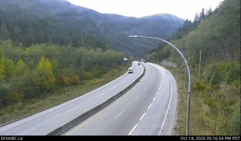
Portia — North
Hwy 5 at Portia Chain Up, looking north (Hope area).
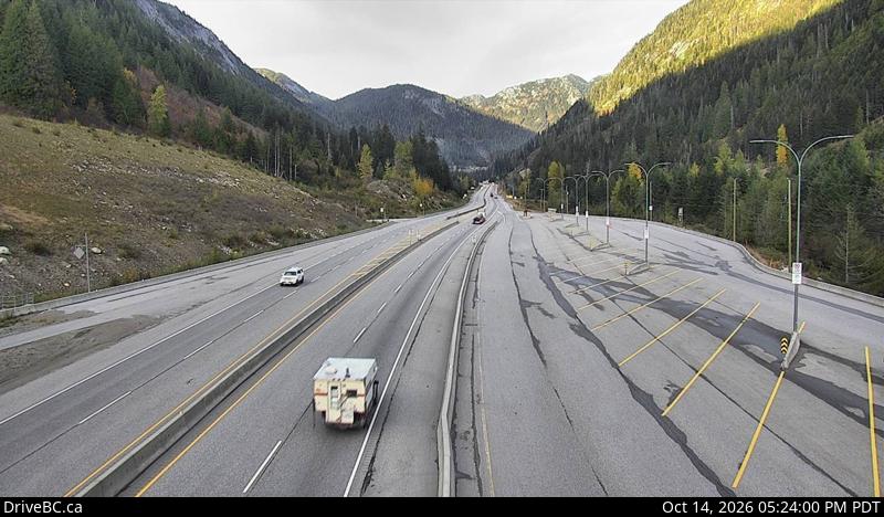
Box Canyon — North
Hwy 5 near Box Canyon Chain Up, looking north (Box Canyon).
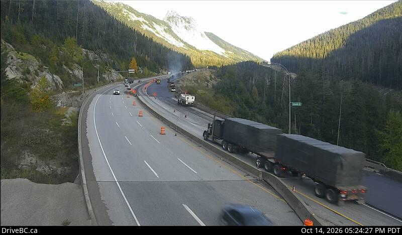
Great Bear Snowshed — North
Hwy 5 at the Great Bear Snowshed, looking north (Great Bear).
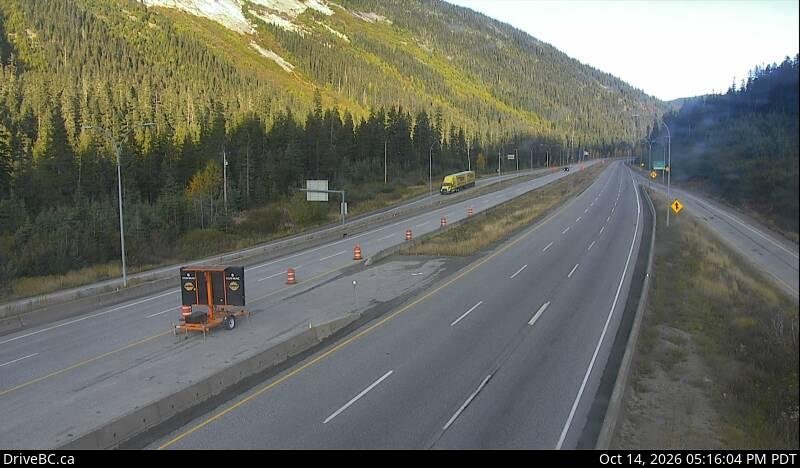
Zopkios Northbound
Hwy 5 northbound at Zopkios Rest Area, near Coquihalla Summit (Coquihalla Summit).
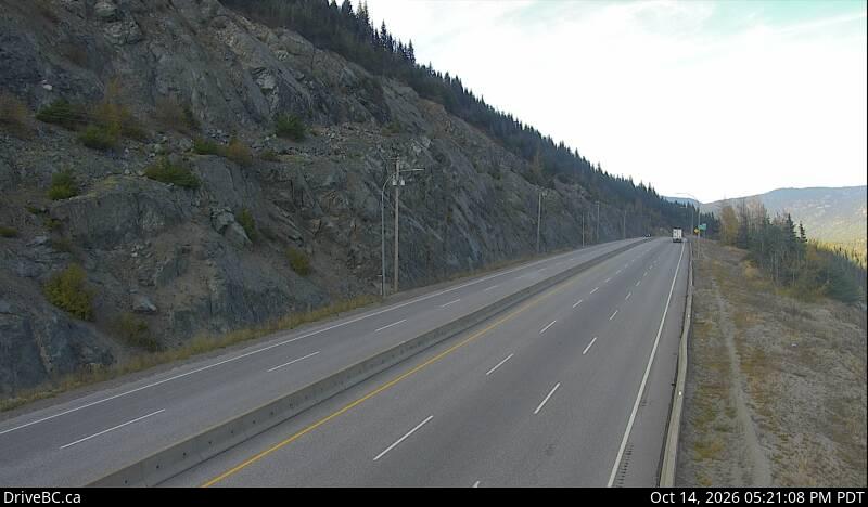
Coquihalla Summit — North
Hwy 5 about 7 km north of Zopkios Brake Check, looking north (Coquihalla Summit).
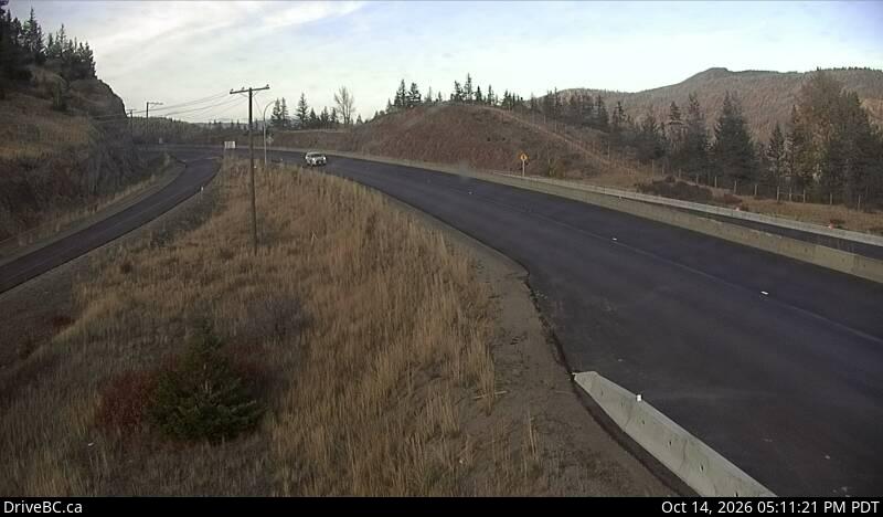
Larson Hill — North
Hwy 5 about 36 km south of Merritt, looking north (Larson Hill).
Highway 5 (the Coquihalla) between Hope and Kamloops is currently open to through traffic, with 4 work zones in effect until October 31.
On Highway 5 (the Coquihalla) between Hope and Kamloops, live drive times show that southbound from Kamloops to Hope is running 1h 58m against a typical 1h 58m; northbound from Hope to Merritt and Kamloops is running 2h 03m against a typical 1h 58m.
This site polls DriveBC's official Open511 feed every 5 minutes and presents it as a single glanceable answer for the Hope–Kamloops corridor of Highway 5. DriveBC, run by the BC Ministry of Transportation and Transit, is the official source for this data; this is an independent site and is not affiliated with DriveBC or the Ministry.
Status last checked Oct 14, 4:00 PM PDT, from DriveBC's official Open511 feed, which this page polls every 5 minutes. Last successful poll: .
Drive safely today
Work zone ahead — expect sudden stops
Traffic can stop with little warning and workers may be on the roadway. Slow to the posted work-zone limit, keep a big gap, put the phone down, and watch for flaggers and lane shifts through the cones.
Tip matched to current conditions · chronic = work_zones (4)
Free alerts the moment the Coquihalla closes
FREEFree, year-round closure alerts — no account, no password, unsubscribe anytime.
Ongoing work zones (4)
Something different on the road?
Report what you're seeing. Helps other drivers when official data lags.
Recent driver reports
Something different on the road? Report itNo driver reports yet.
Driver reports are unverified. Official DriveBC status above.
Frequently asked
Is the Coquihalla Highway open right now?
The live answer is stated in words directly under the status banner at the top of this page — for example "Highway 5 (the Coquihalla) between Hope and Kamloops is currently open to through traffic." That sentence, the banner, and the per-direction cards are all rebuilt from DriveBC's official Open511 feed every 5 minutes, so they reflect the most recent official report for the corridor between Hope, Merritt and Kamloops.How long does it take to drive the Coquihalla?
Typically 1 hour 50 minutes to 2 hours each way between Hope and Kamloops under normal conditions, depending on traffic, weather, and time of year — longer in winter storms or around avalanche control closures. This page shows live current drive times above, compared to typical conditions, so you can see whether today's trip is running normal, slower, or significantly delayed.What is the Coquihalla?
The Coquihalla Highway (Highway 5) is the main high-speed route between Hope and Kamloops via Merritt in southern British Columbia. It climbs over the Coq summit — one of the snowiest highway passes in Canada — and is heavily used for both freight and passenger travel.How current are the Coquihalla highway conditions shown here?
The status is refreshed from DriveBC's official Open511 feed every 5 minutes. Official data can lag fast-moving incidents by a few minutes, which is why we also show recent driver reports beneath the official status.What's the alternate route when the Coquihalla is closed?
The Trans-Canada Highway (Hwy 1) via the Fraser Canyon — Hope, Yale, Boston Bar, Lytton, Cache Creek, then to Kamloops — is the practical alternative for Hope to Merritt road conditions, though significantly longer and often affected by the same weather system. Highway 3 via Manning Park is another option if you're heading to the Okanagan.Why does the Coq summit close for avalanche control?
BC's avalanche program conducts planned explosive control work near the summit to bring down unstable snow before it can slide onto the highway on its own. These Highway 5 closures are usually announced ahead of time with a defined window, and we mark them in blue so you can tell them apart from unplanned emergency closures.Why might one direction show differently than the other?
Some incidents on Highway 5 — lane closures, construction, or scheduled avalanche control — only affect one direction of travel. When that happens we split the status into a southbound (toward Hope) block and a northbound (toward Merritt/Kamloops) block so you see exactly what applies to your trip. When both directions match, we collapse it back to a single banner.Is this site free?
Free to check, free email alerts, no account required. We run a small number of hand-placed local sponsorships — no programmatic ads, no retargeting pixels, no third-party tracking scripts, ever.
Recent closures
No recent Highway 5 closures on record.